


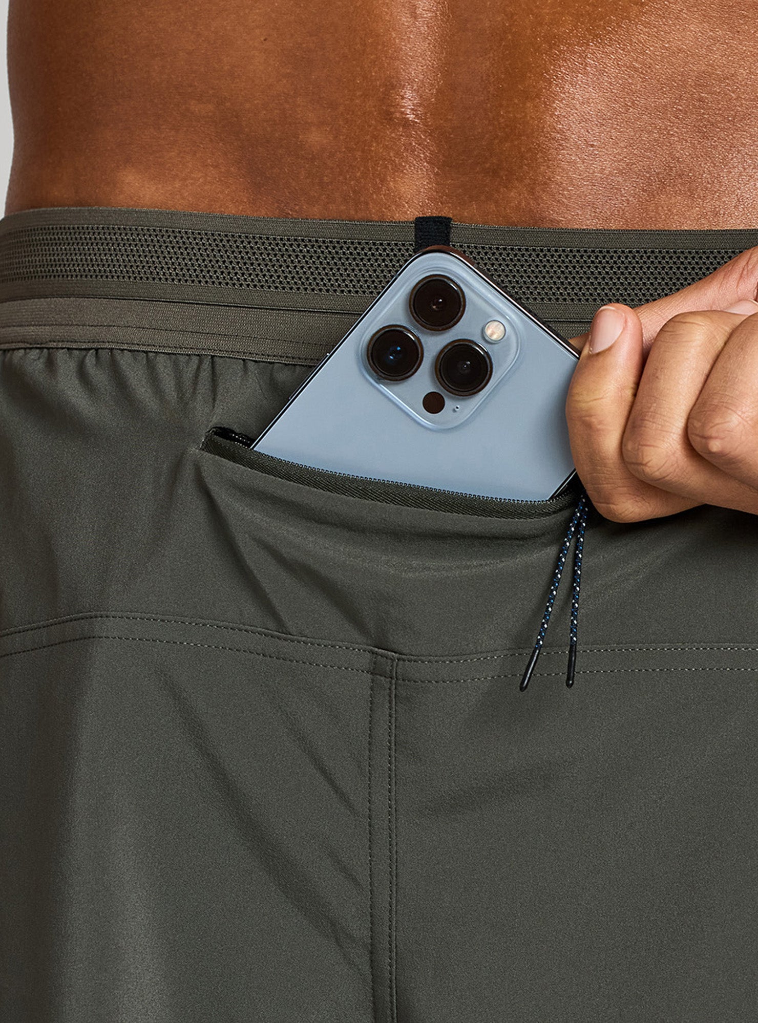
Packing List
Though settlers, loggers, and developers have tried to tame the Lost Coast for over 150 years, the result has been little more than the running of fingers through long, tangled hair.
This is unkempt land. With over 100 inches of rain per year, nature is quick to reclaim any trails, roads, and homesteads left untended. Redwoods grow hundreds of feet tall, mountain lions and bears roam freely, great white sharks patrol the coastline, and every so often an unsuspecting person is swept off their feet and pulled into the cold deep blue.
Even Highway 1, known for feats of engineering as it overcomes 600 miles of California coastline full of steep headlands, deep gulches, and eroding cliffs, was finally directed 30 miles inland by the massive upheaval of headlands presented by the wilderness known as the Lost Coast.
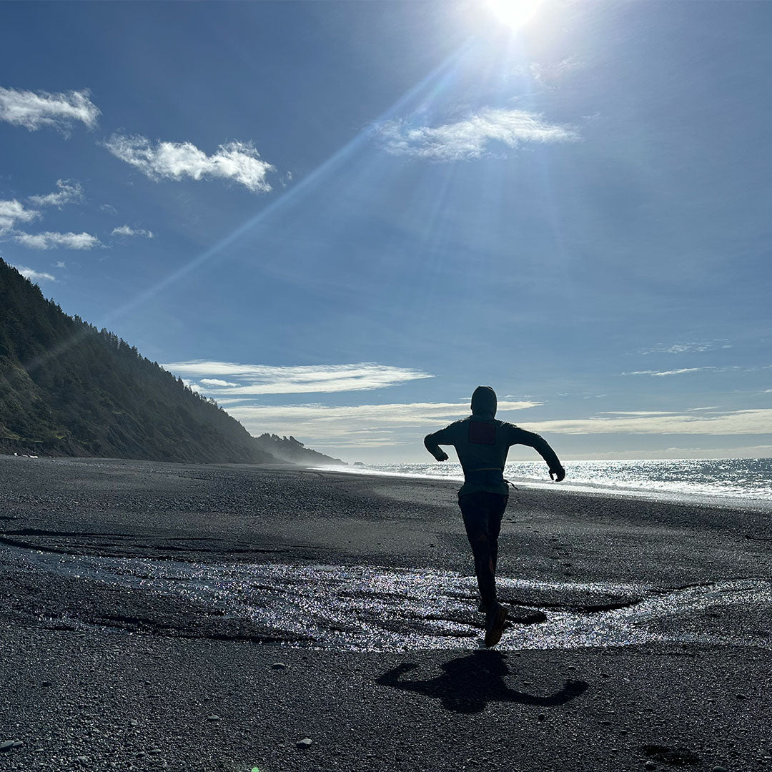
In the gray, pre-dawn light I studied the outbound tide and the calm, lapping waves. “Never turn your back on the ocean,” read the trailhead sign next to the soft black sand beach. I recalled a friend’s praise of the ocean as “immediate wilderness.”
Trailhead warnings are nothing new. Lightning, bears, snakes, exposure, dehydration — these hazards are always lurking, putting the “wild” in wilderness and giving us stories to tell when we’re safely back in our cars, admiring the patina of dirt and blood on our calves and ankles. I know the toll 50 miles can take on two feet.
An ocean, though, now gave me even more to fret about. I imagined a wave creature emerging from the sea, grabbing me by the shoulders and pulling me into the water without a peep.

“Well?” I said to Leor. “Shall we?”
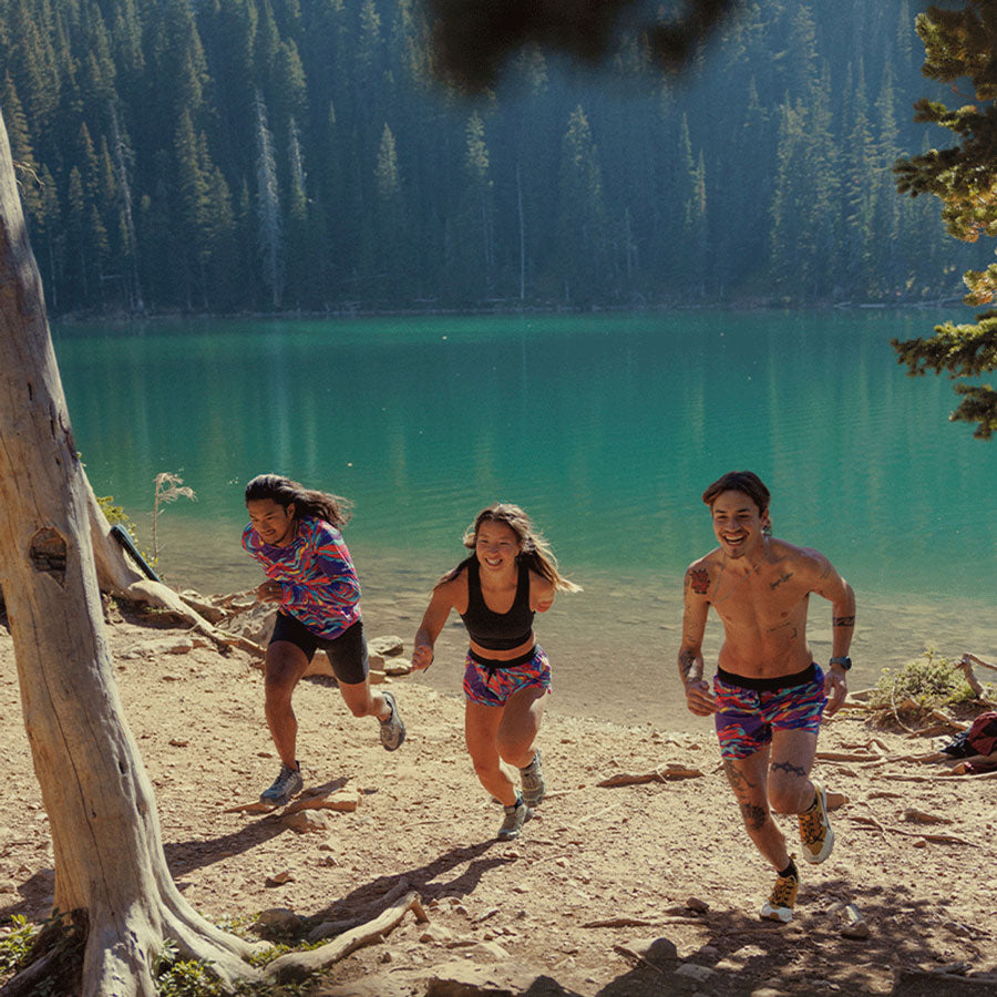
A few years ago, Leor Pantillat, lawyer by trade, avid explorer of California’s wildest places by foot, and I set out to do this epic, one-day run thanks, in large part, to my girlfriend, Liz (now wife) agreeing to help with the complicated shuttle of a 54-mile point-to-point trail run. In the years since, I’ve returned to the Lost Coast many times to remind myself of what the wild meeting of land and water can look like.
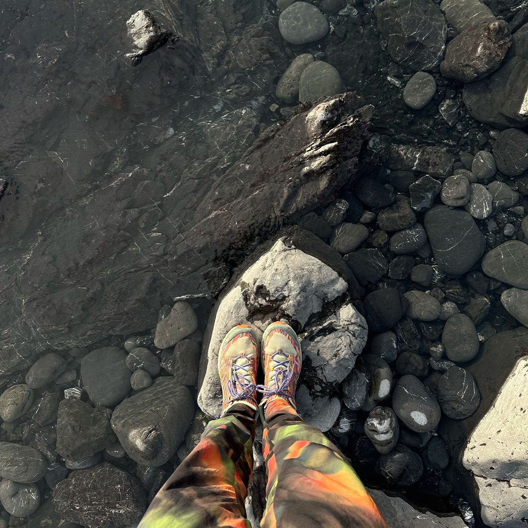
We made our way to the water’s edge where the wet sand resisted our body weight and bean-sized sand crabs leaped about at our feet.
With a northerly breeze at our backs we set off down the longest, uninterrupted coastline in the continental United States—the Lost Coast of northern California.
Several miles down the coast, we paused at one of many places on the map that warned, “Impassable at high tide.” The coal-colored, striated cliff, even at low tide, loomed menacingly close to the cold dark water. Leor pointed out the water line from the night before nearly two stories above us. In just a few hours the tide would return. The wave creature pulling me out to sea crept back to mind.
Farther down the coast we hopped onto Big Flat, where a cruise-y, hardpack trail allowed for a brief reprise from the drudgery of beach running. Backpackers were camped out — some of them with surfboards hauled in from the next entrance, eight miles down the coast. Our fleet-footedness seemed to provoke a common level of disdain and contempt amongst the hikers.

Shelter Cove - 25 miles after leaving Mattole River
The unincorporated town of Shelter Cove marks a halfway point along the Lost Coast. The narrow, windy road leading in from Garberville, 25 miles to the east, keeps the town quiet, if not a little claustrophobic. There is no Main Street and no town center. Heavy, iron gates blocked most driveways, and what few residents we came across guarded their smiles and hellos behind a thick wall of Jurassic foliage.
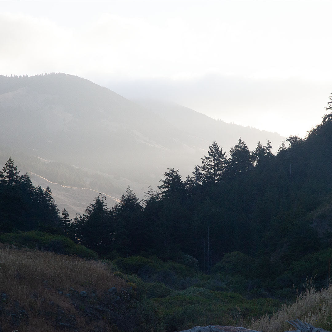
With the ocean briefly at our backs, we carried on 2,000 vertical feet up the road out of Shelter Cove, past the Shelter Cove General Store (food and water available during business hours) to the next trailhead at Hidden Valley. From there the second half of the Lost Coast became as distinct as the first. From the 2,500-foot summit of Chemise Mountain, we descended slowly back down to the waterfront, passing through the polished-brown groves of madrone and for a brief moment, the accumulated miles allowed me to be running somewhere above the Mediterranean.
As much as the first half of the Lost Coast trail is defined by its relationship to the ocean, the second half is defined by its relationship to the coastal mountains. The steep valleys and abrupt features that prohibit beach travel provide real estate for a half-dozen microclimates and eco-zones. Bold groves of redwoods, fir, and alder stand segregated from each other. A thick undergrowth clogs every drainage. The trail thins, and the many backpackers we saw in the first half disappeared save for a tough few.


Needle Rock Visitor Center - 40 miles after leaving Mattole River
We had covered 40 miles by midafternoon as we arrived at what remained of a 1920s dairy operation — an old barn and the Stewart family house overlooking abandoned pastures and expansive ocean. Adopted by the State Park, the building is now known as the Needle Rock Visitor Center, where a live-in docent greeted us with water and nuts and an update on the wildlife he’d seen in the past month. As we headed out down the trail, he casually warned us of bears and mountain lions.
We zigzagged up another thousand feet and zigzagged back down. A crumbling concrete pad was all that remained of another homestead that had been gobbled up by this wild land. The elevation profile, I realized, started to closely resemble a healthy heartbeat line. Up another thousand feet, down another thousand feet — from Bear Harbor up to Jackson Peak, down to Jackass Creek up to a nameless ridge and down through a redwood grove into the aptly named Dark Gulch.
We made our way up the final climb, as the sun approached the horizon and our 50-mile-legs took on a drunken clumsiness. The orange-red sun ignited the air around us. Insistent on seeing out every last viewpoint, Leor dutifully snapped a picture to add to his blog: Usal Beach spread out before us, and the paved ribbon of Highway 1 just beyond.
We cruised down the last of the trail — a soft bed of redwood needles providing much appreciated cushioning. Nearly 14 hours had passed as we arrived at the southern terminus of the Lost Coast Trail, where some local teenagers stood around a pickup polishing off the last of a suitcase of beer and not far away Liz sat in her car listening to NPR.

"As much as the first half of the Lost Coast trail is defined by its relationship to the ocean, the second half is defined by its relationship to the coastal mountains."
Trail History
Both above and below ground, the Lost Coast has long been defined by covert violence. Just beneath the surface of the headlands and black sand beaches, the Mendocino Triple Junction marks the northern reach of the San Andreas Fault with the rare meeting of, not two, but three tectonic plates. The result is a tumultuous upheaval of earth at a rate of 16 feet every 1,000 years, creating one of the greatest reliefs in proximity to the ocean found anywhere in North America.
Evidence of human settlements date back well over 5,000 years with shell mounds, oceanside at the time of their creation, now well above the crashing waves thanks to the rapidly rising earth mass. By the time European settlers arrived post-gold rush, the Mattole and Sinkyone people had upwards of 70 villages throughout the coastal area, many of whom would spend their summer months along the coast and the harsher, winter months in the more protected valleys and meadows inland.
With the settlers came unsustainable hunting practices and the introduction of livestock, namely cattle and pigs, the latter of which decimated one of the primary food sources of the Native population - acorns. In just a few short years, famine threatened to set in amongst the Native population, resulting in the isolated killings of a rancher and a trapper, which marked the beginning of what is now known as the Bald Hills War (1858-1864). Over six short years, massacres and forced removal at the hands of private militia, California militia, and the US Army all but eliminated the language, land, and culture of the Sinkyone and Mattole people.
From then until current day the area has undergone several boom bust cycles, first with the rapid decrease in local flora and fauna caused first by logging and farming, then subsequently by illegal marijuana grow operations. The beauty of, and access, to the landscape persists with the help of conservation groups and limited trail building efforts.
Getting There
You can run the Lost Coast in either direction, however, the north-to-south direction will likely put the prevailing wind at your back and allow for easier planning with the tides.
The trailhead at the northern end of the Lost Coast is found at the mouth of the Mattole River, one hour west of Garberville and another four hours north of San Francisco on Highway 101. There is a great campground close to the beach with pit toilets and running water.
The complete Lost Coast finishes at Usal Beach — accessed by a six-mile drive on a winding, dirt road from Highway 1 (always best to check on the conditions of this road before committing to it). The turnoff is oftentimes unmarked, so it’s best to measure the 15 miles along Highway 1 west from the small town of Legget on Highway 101.
On the Day
One day or two? (Or… do as I say and not as I do.) The Lost Coast stretches along two counties and is divided into two different government land protections: King Range National Conservation Area and Sinkyone Wilderness State Park. Appropriately, the Lost Coast Trail is best undertaken as two parts — the northern beach section and the southern headlands section. Car camping, inns, and Airbnbs provide plenty of options for breaking the run up into two honest days.
Shuttles can be arranged through Lost Coast Adventures. Tide charts can be found from NOAA. Be sure to put in Shelter Cove as your location.

Run with Rickey
Feeling inspired? Sign up to join Rickey on his next big trail-running trip.
About Rickey
For the past thirty years, running has been a central part of Rickey Gates’s life. Whether it be in the competitive realm of racing or the obsessive realm of curiosity, or a mindful space of meditation, running has long been the primary medium through which Rickey has interacted with the broader environment around him.
In an effort to understand his country, community, and self, Rickey completed two unbelievably ambitious, back-to-back running projects: TransAmericana (2017) in which he ran across the entire United States, and Every Single Street (2018) in which he ran, street by street, the entirety of San Francisco. His current obsession (which you are currently reading) is to paint a picture of North America through trails. He lives in Santa Fe with his wife and two children.
NOTE: The author has made several trips to the Lost Coast over the years. This account is primarily from a 2014 run of the complete Lost Coast with Leor Pantilat. Portions of this write-up originally appeared in Trail Runner Magazine.